Mt. St. Helens Day trip to Mt. St. Helens. | |||||||||||||||||||||||||||||||||||||||||||||||||||||||||||||||||||||||||||||||||||||||||||||||||||||||||||||||||||||||||||||||||||||||||
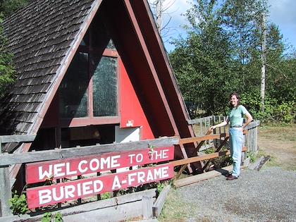 | 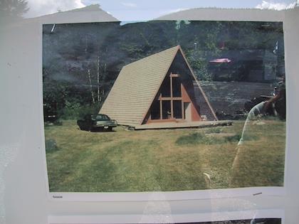 | ||||||||||||||||||||||||||||||||||||||||||||||||||||||||||||||||||||||||||||||||||||||||||||||||||||||||||||||||||||||||||||||||||||||||
| The weather wasn't that great when we went to Mt. St. Helens, but at least it wasn't raining. On the way out there on highway 505, there was a little tourist stop where they had on display a half-buried A-frame, completed just before the eruption. | This is how it looked before the volcano dumped 5 feet of additional mud in the valley. | ||||||||||||||||||||||||||||||||||||||||||||||||||||||||||||||||||||||||||||||||||||||||||||||||||||||||||||||||||||||||||||||||||||||||
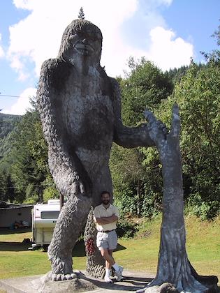 | 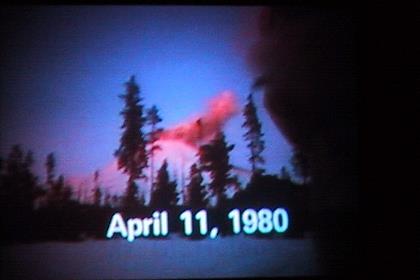 | ||||||||||||||||||||||||||||||||||||||||||||||||||||||||||||||||||||||||||||||||||||||||||||||||||||||||||||||||||||||||||||||||||||||||
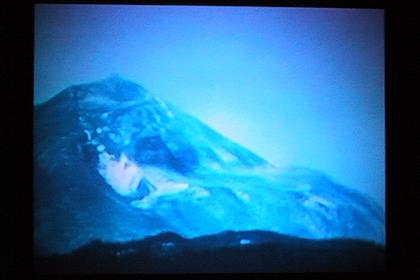
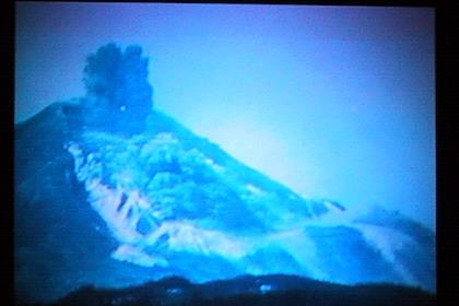
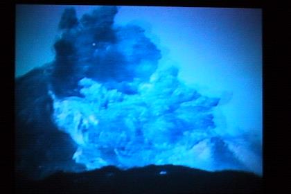
| This area is also a hotbed of "Big Foot" legends. | We saw a cheesy film about the eruption at the gift store, and took some pictures of it: | ||||||||||||||||||||||||||||||||||||||||||||||||||||||||||||||||||||||||||||||||||||||||||||||||||||||||||||||||||||||||||||||||||||||||
 |  | ||||||||||||||||||||||||||||||||||||||||||||||||||||||||||||||||||||||||||||||||||||||||||||||||||||||||||||||||||||||||||||||||||||||||
 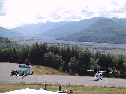 Another tourist stop on the way to the National Volcanic Monument offered helicopter rides. The gray surface in the valley is left over from when the volcano send millions of tons of melted glaciers mixed with debris down the valley. | 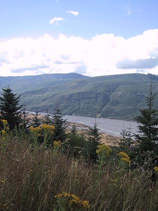 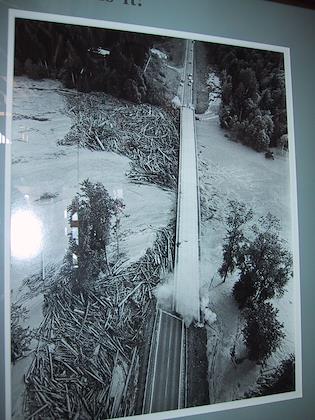 This is a bridge along the way which has since been rebuilt. | 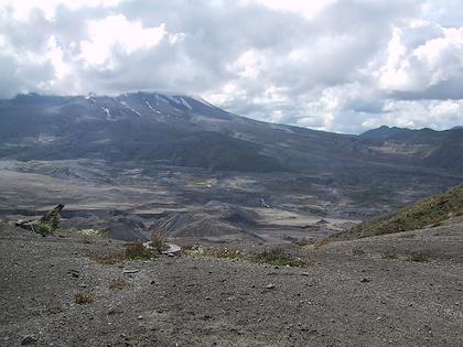 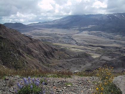 This is from the area around the Johnston Ridge Observatory and Visitor Center, where we went for a hike on Boundary Trail. The visitor center was very crowded, but it's amazing how much people thin out when you walk out half an hour. Here's some views of Mt. St. Helens and the blowout area--unfortunately the top of the mountain was clouded over. | 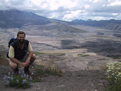 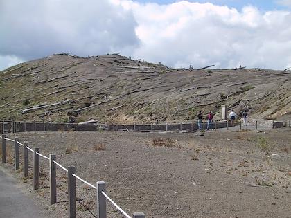 Note the blown down trees here. | 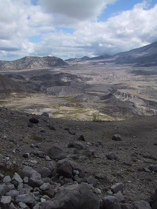 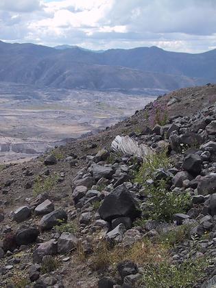 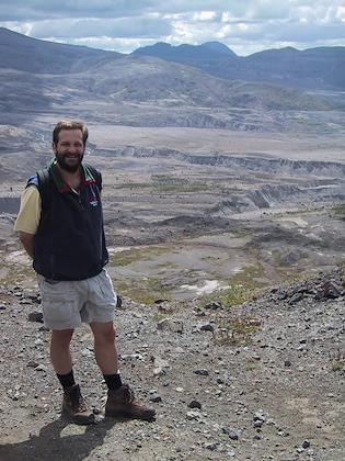 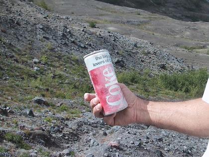 A guy we met hiking found a really old can of coke. Here's a link to when the can was actually made (look down on the page). I'll bet it was caught in the mudslide.. | 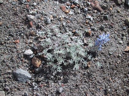 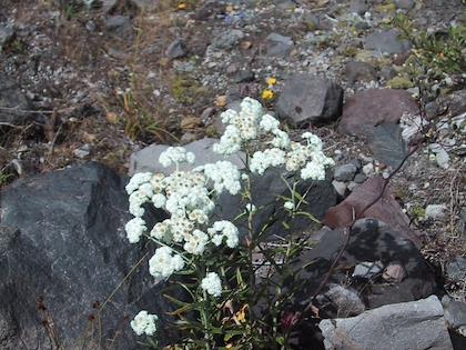 Here's some of the wildflowers we saw. Alpine lupine. | Pearly everlasting | 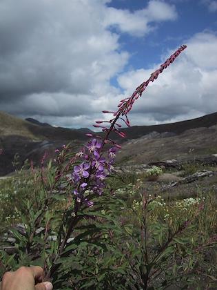 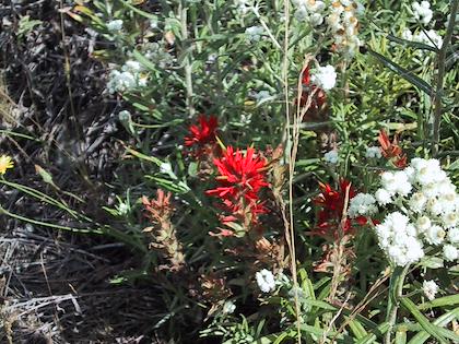 Fireweed--very common. | The red flower is Indian Paintbrush. | 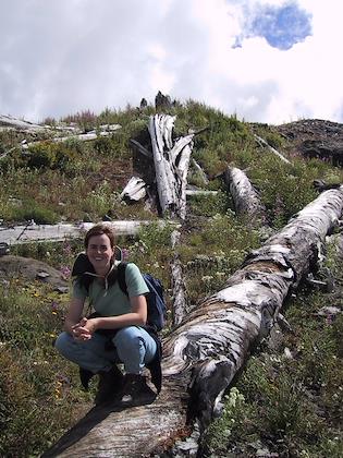 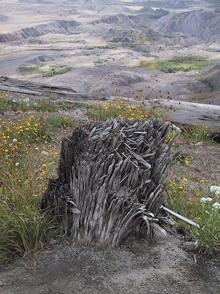 Sylvia on some blown down trees. | Here's what a tree stump looks like close up. They were all blown over by the explosion. Fascinating how it splinters like this--you never see this in a normal tree stump. | 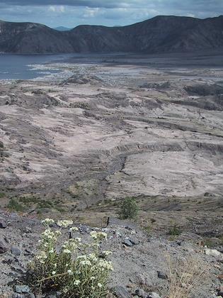 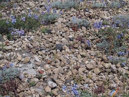 Spirit Lake. If you strain you can see the logs choking up the lake--they're from the explosion. | I was picking up pumice for a souvenir, and felt a little bad about it because there really wasn't too much pumice around. But then I found whole fields of it! | 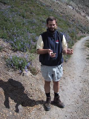 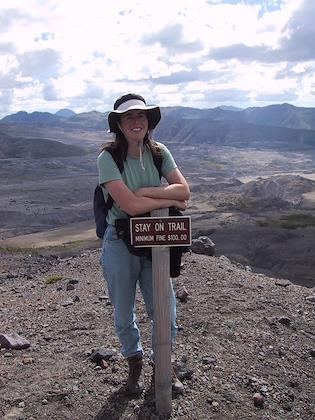 Eric juggling pumice | Okay, so I didn't always stay on the trail. But it was Eric's idea... | 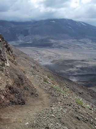 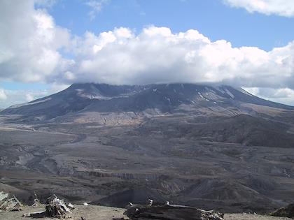 This trail felt a lot steeper than it looks here. | The clouds never did disperse from the mountaintop, unfortunately. | 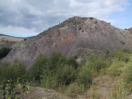 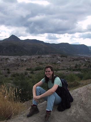 After the Boundary Trail, we hiked around an area where the main landscape feature was hummocks. Much of the mountain exploded into dust and ash, but there were also massive chunks that were blown out, without disintegrating. Here's a hummock, showing signs of the rapid erosion that is characteristic. | Sylvia sitting on a hummock, with more hummocks in the background. | 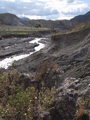 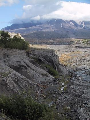 You can really see the erosion here. Not only were the hummocks eroding away very rapidly, but there was also 60 to 100 ft of ash and mud deposited in this valley, which is eroding at an enormous rate. | 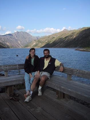 Eric and Sylvia at Coldwater lake--a completely new lake, formed when the explosion created a dam in front of a stream. | | ||||||||||||||||||||||||||||||||||||||||||||||||||||||||||||||||||||||||||||||||||||||||||||||||||||||||||||||||||||